
Big London A-Z Street Atlas
No Customer Reviews

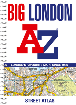
The mapping features transport connections, places of interest, public buildings, postcode districts, one-way streets, Congestion and Low Emission Zones This comprehensive street atlas of London also includes: An overview map of the Congestion Charging Zone West End Theatre and Cinema maps The London Rail & Tube Services Map - London Underground maps A comprehensive index lists streets, selected flats, walkways and places of interest, place, area and junction names. Additional healthcare (hospitals, walk-in centres and hospices) and transport (National Rail, London Tramlink, Docklands Light Railway, London Underground and Overground stations, and River Bus pier) are indexed as well.
Format:Spiral-bound
Language:English
ISBN:0008663505
ISBN13:9780008663506
Release Date:August 2024
Publisher:Geographers' A-Z Map Company Ltd.
Length:320 Pages
Weight:1.85 lbs.
Dimensions:0.8" x 8.3" x 11.2"
Customer Reviews
0 rating
Copyright © 2025 Thriftbooks.com
Terms of Use | Privacy Policy | Do Not Sell/Share My Personal Information | Cookie Policy | Cookie Preferences | Accessibility Statement
ThriftBooks ® and the ThriftBooks ® logo are registered trademarks of Thrift Books Global, LLC
ThriftBooks ® and the ThriftBooks ® logo are registered trademarks of Thrift Books Global, LLC
