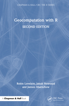
Geocomputation with R
Select Format
Select Condition 
Book Overview
Geocomputation with R is for people who want to analyze, visualize, and model geographic data with open source software. The second edition features numerous updates, including the adoption of the high-performance terra package for all raster data processing.
Format:Hardcover
Language:English
ISBN:1032229799
ISBN13:9781032229799
Release Date:May 2025
Publisher:CRC Press
Length:400 Pages
Weight:1.68 lbs.
Dimensions:0.9" x 6.1" x 9.2"
Related Subjects
Math Mathematics Reference Science Science & Math Science & Scientists Science & TechnologyCustomer Reviews
0 rating


