
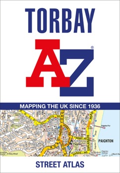
Torbay A-Z Street Atlas
No Customer Reviews

Printed in full-colour, paperback format, this atlas contains 34 pages of continuous street mapping. More than 5,100 streets indexed. Areas covered include: Brixham, Paignton, Torquay, Kingskerswell, Newton Abbot, Bovey Tracey, Teignmouth, Dawlish, Ashburton, Buckfastleigh, Totnes, Kingsbridge, Salcombe, Dartmouth. In addition, there are insets of: Bishopsteignton, Ipplepen, Stoke Gabriel and a large scale town centre map of Dartmouth. Postcode districts, one-way streets, Park and Ride sites, safety camera locations with their maximum speed and Dartmoor National Park boundary are featured on the mapping.
Format:Paperback
Language:English
ISBN:0008560463
ISBN13:9780008560461
Release Date:June 2023
Publisher:Geographers' A-Z Map Company Ltd.
Length:64 Pages
Customer Reviews
0 rating
Copyright © 2025 Thriftbooks.com
Terms of Use | Privacy Policy | Do Not Sell/Share My Personal Information | Cookie Policy | Cookie Preferences | Accessibility Statement
ThriftBooks ® and the ThriftBooks ® logo are registered trademarks of Thrift Books Global, LLC
ThriftBooks ® and the ThriftBooks ® logo are registered trademarks of Thrift Books Global, LLC
